A video is being shared on social media claiming it is a satellite video showing the scary visuals of the recent earthquake in Indonesia. In the wake of the recent earthquake on the main Indonesian Island of Java, this post claims it as the visuals of the entire land mass getting shifted during the earthquake. Let’s verify the claim made in the post.
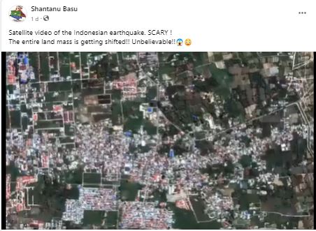
Claim: Satellite video showing the visuals of the recent earthquake in Indonesia.
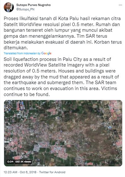
Fact: The video shared in the post shows a time-lapse video of the deadly earthquake and tsunami that occurred on 28 September 2018 in Indonesia. Sutopo Purwo Nugroho, who works for Indonesia’s National Agency for Disaster Countermeasure (BNPB), tweeted this time-lapse video on 06 October 2018, describing it as the visuals of soil liquefaction during the earthquake in Palu city of Indonesia. Sutopo Purwo Nugroho said that the video was created using the images recorded by the WorldView satellite during the earthquake on 28 September 2018. The video does not show the visuals of the recent earthquake in Indonesia. Hence, the claim made in the post is MISLEADING.
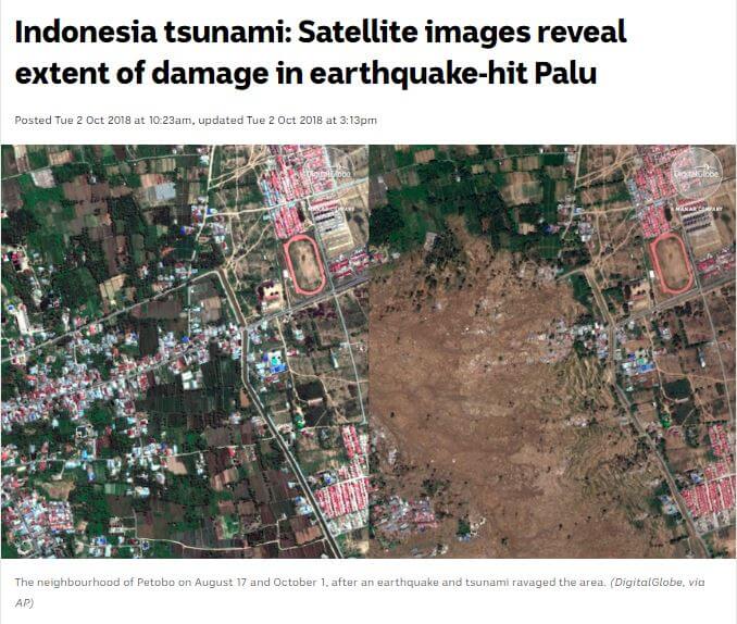
On reverse image search of the screenshots in the video, similar visuals were found in an article published by the ‘CNN’ news website on 01 October 2018. CNN reported it as the satellite images showing before and after pictures of the villages wiped away during the deadly earthquake and tsunami on 28 September 2018 in Indonesia. Reporting the same, several news websites published articles sharing the same satellite images in October 2018. They can be seen here and here.
When we searched for further sources of this video using keywords on the internet, we found that many social media users have shared this video in 2018 mentioning it as a time-lapse video created using satellite images showing the soil liquefaction during the earthquake in Indonesia. A few news websites published articles reporting that the time-lapse video was first shared by Sutopo Purwo Nugroho, the Head of the Information Data Center and Public relations of Indonesia’s National Agency for Disaster Countermeasure (BNPB). Sutopo Purwo Nugroho’s Instagram post embedded in these articles is now not available on his Instagram.
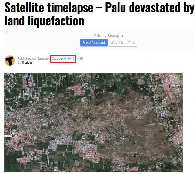
When we searched for further sources, we found the same video on the Twitter handle of Sutopo Purwo Nugroho. Sutopo Purwo Nugroho described it as a video showing the soil liquefaction process in Petobo Housing Complex, Palu, during the earthquake on 28 September 2018. Sutopo Purwo Nugroho said that the video was created using the images recorded by the worldview satellite. Several Indonesian news websites have also published this time-lapse video in October 2018. From all these pieces of evidence, it can be concluded that the video shared in the post shows a time-lapse video of the earthquake that occurred in Indonesia in 2018.
To sum it up, a time-lapse video showing the 2018 earthquake in Indonesia is shared as a satellite video of the recent Indonesia earthquake.