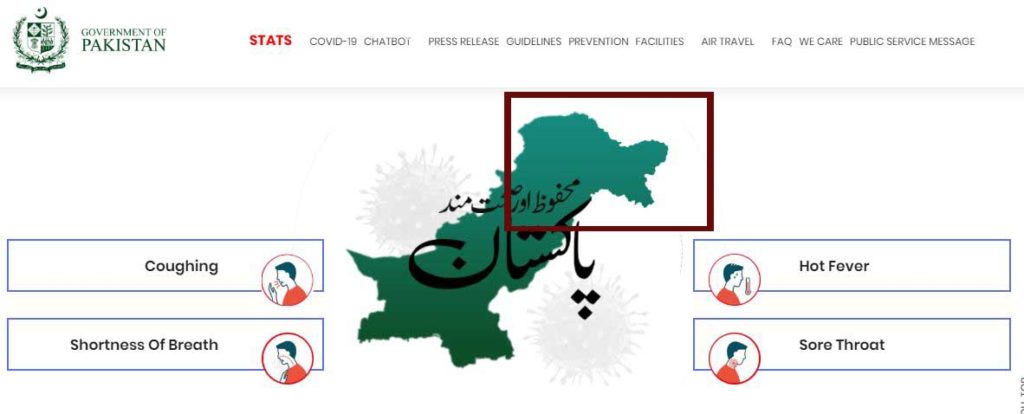
A piece of news is being shared widely on social media with a claim – ‘Pakistan accepts entire J&K as part of India’. A screenshot of the Indian map (showing entire J&K as part of India) taken from the Pakistan government website (http://covid.gov.pk/) is being shown as proof. Let’s fact-check the claim made in the post.
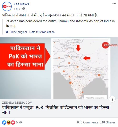
Claim: Pakistan has accepted the entire J&K as part of India. A map on the Pakistan government’s website shows the same.
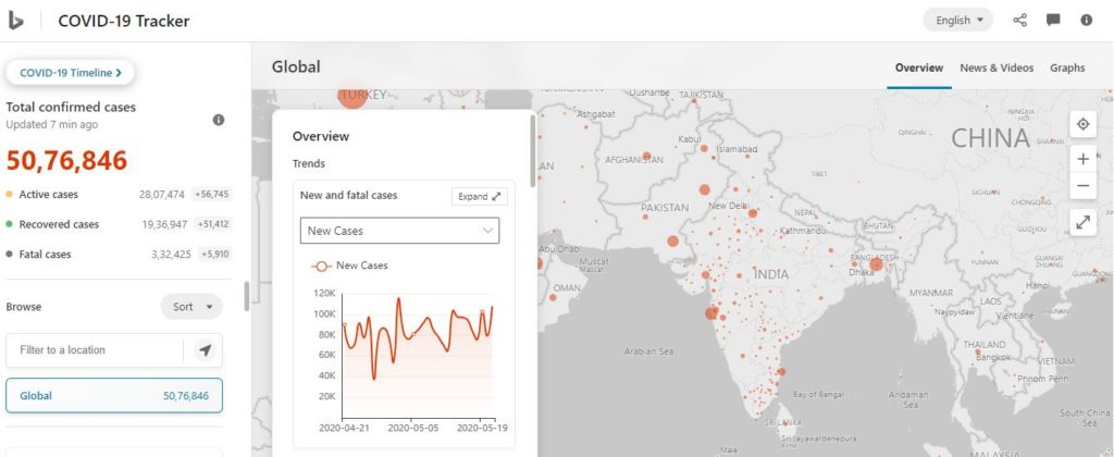
Fact: The Pakistan government embedded the Bing Maps COVID-19 tracker on their website. They did not create the map. Bing Maps show the country boundaries based upon on the country it is accessed from. While it is true that the Pakistan website showed the entire J&K as part of India, it is only when the website is accessed from India. When the website was accessed from other countries, it was seen that the entire J&K was not shown as part of India (It was shown as a disputed territory). Hence the claim that Pakistan has accepted the entire J&K as part of India is FALSE.
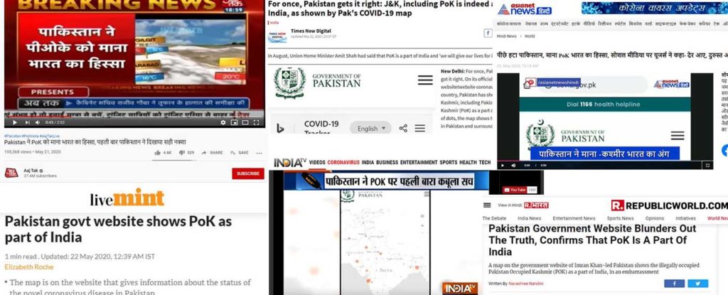
Not only social media users but multiple news agencies [Aaj Tak (archived), India TV (archived), Asianet News – Hindi (archived)] have posted that Pakistan has accepted the entire J&K as part of India. Some news agencies [Times Now News (archived), Live Mint (archived), Republic World (archived)] have not concluded anything but reported that Pakistan website showed entire J&K as part of India.
The Pakistan government website (http://covid.gov.pk/) on COVID-19 has just embedded the Bing Maps COVID-19 tracker on their website. They did not create the map. Bing Maps show a country’s boundaries based on where it is being accessed from. While it is true that the Pakistan website showed entire J&K as part of India, it is only when the website is accessed from India. Based on the country you access from, Bing Maps and Google Maps shows the disputed territories accordingly. FACTLY has previously written a fact check article when a similar claim was made using Google Maps screenshots. The Pakistan website has now removed the embedded map, but the same map can be seen on the Bing website. (When the Bing website is accessed from India, it can be seen that entire J&K is shown as part of India)
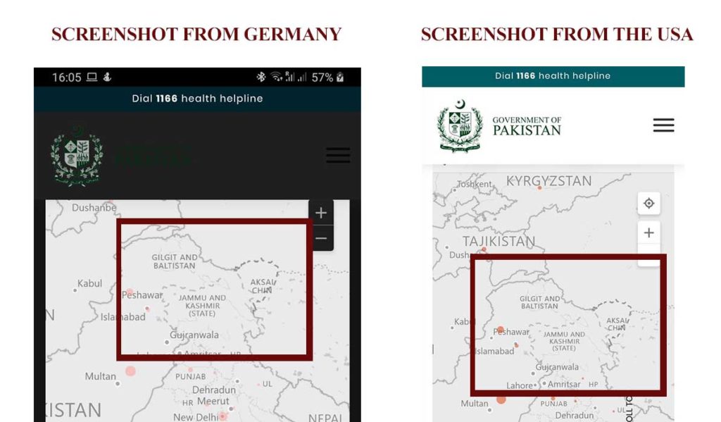
FACTLY has asked some of its users to confirm how the map looked when the website is accessed from other countries. FACTLY received screenshots of the website from the USA and Germany which do not show J&K as a part of India but were represented by a grey-dotted line i.e. a disputed territory. So, what is seen on the Pakistan website is how Google or Bing Maps are designed, not necessarily Pakistan accepting the status of the disputed territory.
Also, it can be seen that another image on the website shows entire J&K as part of Pakistan. The state of Gilgit Baltistan on COVID-19 stats can be also seen on the website.
To sum it up, the embedded Bing Maps COVID-19 tracker on the Pakistan website showed J&K as part of India only when it was accessed from India.
Did you watch our new video?