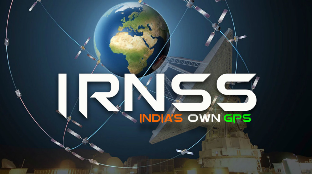
All you need to know about the NAVIC (IRNSS)
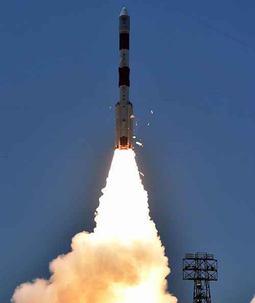
[orc]With the successful launch of the IRNSS-1G, India became only the 5th country to have an operational satellite navigational system. The IRNSS or NAVIC will provide services over the Indian region including SAARC countries with a position accuracy of better than 20 meters.
With the successful launch of IRNSS-1G, India joined the elite list of countries with their own satellite navigation system. IRNSS is an independent regional navigation satellite system designed to provide position information in the Indian region and 1500 km around the Indian mainland. The IRNSS is also known as the NAVIC or NAVigation with Indian Constellation

What is Indian Regional Navigation Satellite System (IRNSS)?
The Indian Regional Navigation Satellite System (IRNSS) is an indigenous regional positioning system for India. The main objective is to provide Reliable Position, Navigation and Timing services over India and its neighbourhood. IRNSS provides services over Indian region with an absolute position accuracy of better than 20 meters. The IRNSS will provide basically two types of services
- Standard Positioning Service (SPS) for civilian users
- Restricted Service (RS) for strategic users
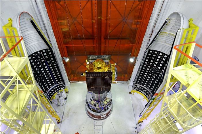

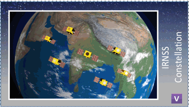
The IRNSS consists of seven satellites in a constellation, three satellites in geostationary orbit (GEO) and four satellites in geosynchronous orbit (GSO). All the satellites will be visible at all times in the Indian region. The seven satellites have now been launched. The first of the seven satellites was launched in 2013.
| S No | Satellite | Launch Date |
|---|---|---|
| 1 | IRNSS – 1A | July 1st, 2013 |
| 2 | IRNSS – 1B | April 04th, 2014 |
| 3 | IRNSS – 1C | November 10th, 2014 |
| 4 | IRNSS – 1D | March 28th, 2015 |
| 5 | IRNSS – 1E | January 20th, 2016 |
| 6 | IRNSS – 1F | March 10th, 2016 |
| 7 | IRNSS – 1G | April 28th, 2016 |
All the required ground infrastructure and primary facilities to operate IRNSS constellation have been established. Two ranging and integrity monitoring will be in Indonesia and Mauritius.
Various Applications of IRNSS
The following are some of the major applications of IRNSS
- Terrestrial, Aerial and Marine Navigation
- Disaster Management
- Vehicle tracking and fleet management
- Integration with mobile phones
- Precise Timing
- Mapping and Geodetic data capture
- Terrestrial navigation aid for hikers and travellers
- Visual and voice navigation for drivers
The IRNSS Signal-in-Space Interface Control Document (ICD) for Standard Positioning Service (SPS) is released to the public to provide the essential information on the IRNSS to aid the commercial use of the IRNSS signals for navigation-based applications.
The IRNSS constellation encompasses the SAARC countries as well. The SAARC member countries can also adopt the IRNSS system for the navigational services.

The IRNSS is developed with an estimated cost of Rs 1420 crore including satellites and associated ground segment.
India joins the elite list of Countries with their own Navigation System
With IRNSS, India became only the 5th country with an operational satellite navigation system. There are two global satellite navigation systems viz., the NAVSTAR GPS system of the USA and GLONASS of the Soviet Union.
Two more global satellite navigation systems namely, Galileo by the European Union and Compass by China are under development. Apart from these, three other regional satellite navigation systems are currently operational including IRNSS. The Chinese regional system is known as the BeiDou-1 and the satellite covering Japan is known as The Quasi-Zenith Satellite System (QZSS).
Image Source: www.isro.in